Our Projects 2
- Home
- Our Projects 2
EXPLORE WORK
The great work we did
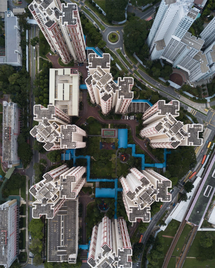
GIS Land Information System
Developed a comprehensive GIS and cadastral mapping system for effective land administration, integrating accurate parcel data, geodetic control points, and spatial analysis tools to support planning, taxation, and infrastructure development.
View details

Environmental Monitoring
Utilized remote sensing and GIS to monitor environmental impacts of gas flaring across designated sites, producing detailed spatial data layers and impact assessment maps to support regulatory compliance and environmental management.
View details
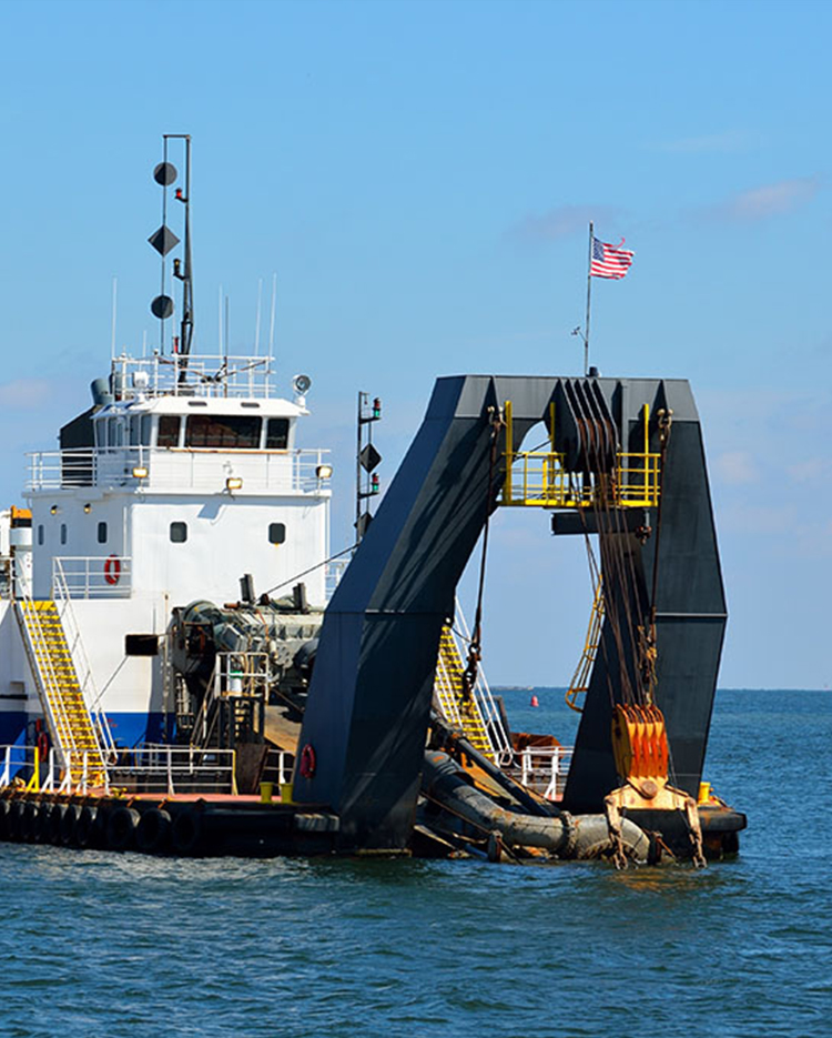
Offshore Pipeline Route Survey
Conducted a high-precision topographical and bathymetric survey for an oil and gas client, delivering accurate pipeline route alignment using GNSS and multibeam sonar data to support safe offshore pipeline installation and environmental compliance.
View details