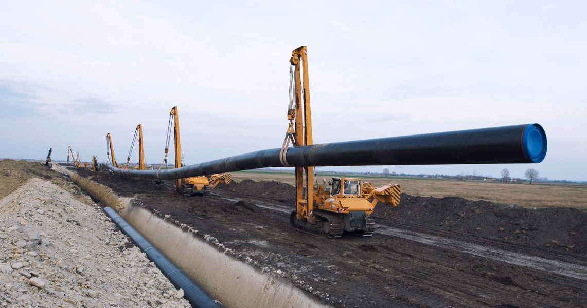
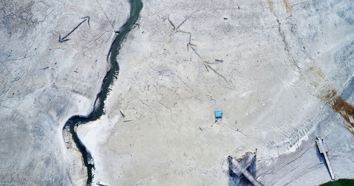
Curlingbird executed a comprehensive offshore pipeline route survey in the challenging terrain of the Niger Delta. The project involved high-precision bathymetric and topographic data acquisition using multibeam sonar, RTK GNSS, and drone mapping to define a safe, environmentally compliant pipeline route across a 35 km corridor. The data supported engineering design and construction planning while minimizing environmental impact.
Delivered accurate 3D terrain models, bathymetric charts, and route alignment data, enabling efficient pipeline design and installation while reducing permitting delays.